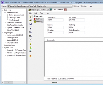
LogPlot is a program used by geoscientists to display their geotechnical, environmental, geophysical, mud/gas, and mining data as a graphic boring log. It can compile the data into the design at any vertical scale for single-page, multi-page, or continuous logs.

Manipulates the images and modifies them by applying high quality effects.


Comments